Customize Consent Preferences

We use cookies to help you navigate efficiently and perform certain functions. You will find detailed information about all cookies under each consent category below.

The cookies that are categorized as "Necessary" are stored on your browser as they are essential for enabling the basic functionalities of the site. ... 

Always Active

Necessary cookies are required to enable the basic features of this site, such as providing secure log-in or adjusting your consent preferences. These cookies do not store any personally identifiable data.

No cookies to display.

Functional cookies help perform certain functionalities like sharing the content of the website on social media platforms, collecting feedback, and other third-party features.

No cookies to display.

Analytical cookies are used to understand how visitors interact with the website. These cookies help provide information on metrics such as the number of visitors, bounce rate, traffic source, etc.

No cookies to display.

Performance cookies are used to understand and analyze the key performance indexes of the website which helps in delivering a better user experience for the visitors.

No cookies to display.

Advertisement cookies are used to provide visitors with customized advertisements based on the pages you visited previously and to analyze the effectiveness of the ad campaigns.

No cookies to display.

Abaltzisketa | PR: Pequeños Recorridos

Sendero Ausa – Gaztelu


PR-Gi 2004 | ARALAR

← Volver a la lista de rutas
Ausa Gaztelu


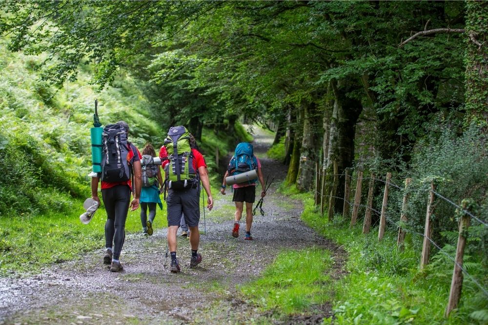
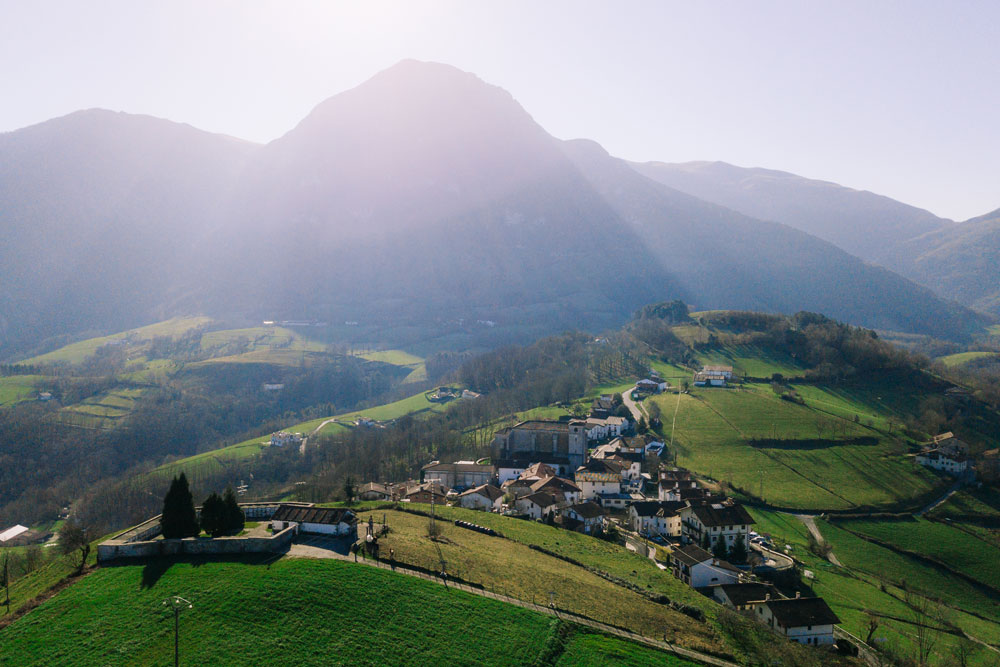
El recorrido nos acercará a los restos de la fortaleza existente en la cima del monte Ausa-Gaztelu, no muy lejos del área de recreo de Larraitz, para adentrarnos en otra época ya pasada. Esta construcción erigida en el siglo XIII, era un puesto de vigía sobre la frontera entre los reinos de Castilla y Navarra.

Según aparece en documentos de archivo, en aquellos tiempos la hacienda Navarra pastaba en Aralar y las fuerzas de Castilla hacían incursiones para hacerse con ellos. Desde estos puestos se avisaba con el cuerno para que se recogiera el ganado a lugares más seguros. Evidentemente, es un lugar con una panorámica maravillosa.


Powered by Wikiloc

Distancia
10.7 km

Duración
03:40 h

Subida
393 m

Bajada
571 m

Punto de partida
Alto de Larraitz

También te
puede interesar...