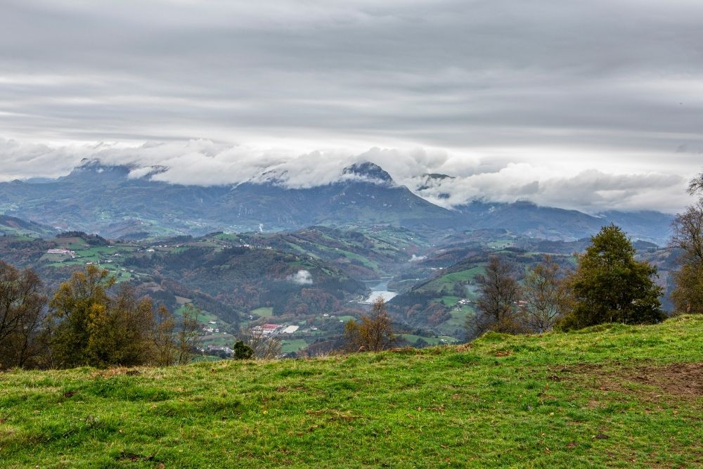
This affordable trail, 7.9 km long and 483 m high, will take us to know the surroundings of Alegia.
As soon as we start the route, at the end of Bidebarrieta Street and the beginning of Erbeta, we will pass under a small tunnel, in order to save the train tracks. Shortly after, and after crossing the N-1 motorway below, we will walk between forest plantations and meadows, until we reach near the Langaurrezar farm. From here the path enters a pine forest that will take us along the slope of Mount Miraleku.
After walking about 4 km we will reach the highest part of our route, reaching 414 meters of altitude. Little by little we will descend, we will cross the area of Aldabamendi and we will arrive towards the northern part of the town of Alegia. We will cross under the N-1 motorway to reach an industrial area and shortly after we will pass again under the train tracks, returning to our starting point.
Distance
7.9 km
Duration
02:15 h
Slope of rise
514 m
Slope of descent
514 m


You may
also like...


Discover
Plan your trip
